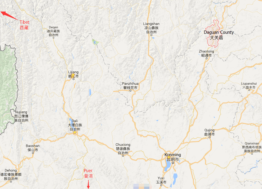
Location Map of Daguan County in Yunnan

Geographic Coordinates
Daguan County is located in the southeastern part of Wenshan Zhuang and Miao Autonomous Prefecture, Yunnan Province. It lies at the intersection of several important regional borders, contributing to its strategic position.
- Latitude: 23°23′ N
- Longitude: 104°21′ E
Surrounding Areas
Daguan County shares borders with several counties and regions:
- East: Borders Malipo County (麻栗坡县) and is separated from Xichou County by the Panlong River.
- South: Adjacent to Vietnam’s Lao Cai Province (老街省) and Hekou County (河江省).
- Southwest: Shares borders with Hekou County and Pingbian County (屏边县) in the Honghe Hani and Yi Autonomous Prefecture.
- North: Borders Wenshan City.
Geographical Significance
Daguan County is situated in a strategic location with several key features:
- It is part of the Wenshan Zhuang and Miao Autonomous Prefecture, which is rich in ethnic diversity and natural resources.
- The county shares a 91-kilometer border with Vietnam, making it an important border region for trade and cultural exchange.
- Dulong Border (都龙口岸) serves as a national-class land port, facilitating trade between China and Southeast Asia.
- This geographic positioning makes Daguan a vital gateway for trade with Southeast Asia and South Asia, enhancing its role in regional economic development.
Transportation and Connectivity
Daguan County’s location places it as a key connector between China and Vietnam, with easy access to major international trade routes. This has made it a hub for cross-border commerce and tourism.


