Zhaotong Geography
Geographic Environment
Location and Boundaries
昭通市 (Zhaotong City) is located at the junction of the Yunling Plateau and the Sichuan Basin, between 102°52′E to 105°19′E longitude and 26°55′N to 28°36′N latitude. It borders Bijie City of Guizhou Province to the east, Qujing City of Yunnan Province to the south, Liangshan Yi Autonomous Prefecture of Sichuan Province along the Jinsha River to the west, and Yibin City of Sichuan Province along the Jinsha River to the north. The city covers an area of 23,000 square kilometers.

Topography and Landforms
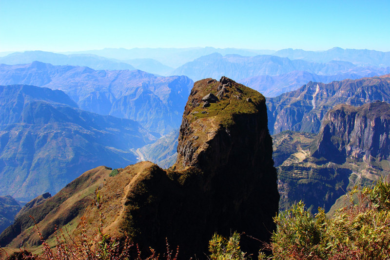
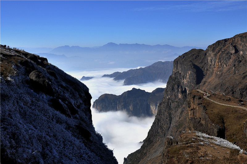
Terrain and Landforms
Zhaotong City features a typical mountainous terrain, with higher elevations in the southwest and lower elevations in the northeast. The average elevation is 1,685 meters above sea level, with the administrative center situated at 1,920 meters above sea level. The highest point reaches 4,040 meters (Yaoshan Mountain in Qiaojia County), while the lowest point is 267 meters above sea level (Gunkanba in Shuifu County).
Climate Conditions
Climate
Zhaotong City is characterized by its diverse climate due to the presence of numerous mountains and significant differences in altitude. It exhibits a complex plateau monsoon climate. The city experiences relatively small seasonal variations throughout the year, but significant climate differences exist at different altitudes. The climate types vary from plateau climate to temperate climate and subtropical climate. In general, the southern part of Zhaotong tends to be warmer with lower humidity compared to the northern part.

Annual average temperatures range between 11°C to 21°C. The coldest temperatures occur in January, with monthly averages ranging from 1°C to 12°C. The hottest temperatures occur in July, with monthly averages ranging from 20°C to 27°C. Zhaotong receives abundant precipitation, but distribution is uneven between the north and south, with the south being drier than the north. Periodic floods and droughts are known to occur.


