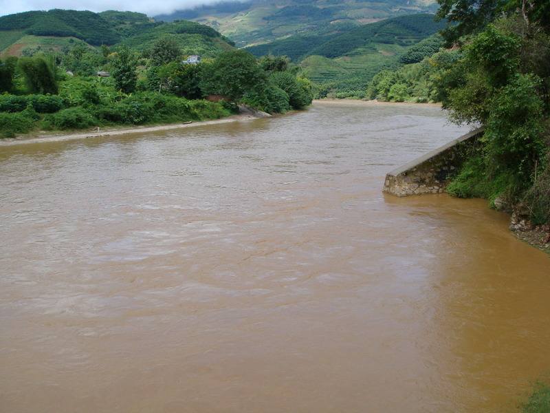
Nankajiang River in Puer
Chinese Name: 南卡江
English Name: Nankajiang River in Puer
Origin: The Nankajiang River originates in the eastern mountainous region of Yangyan, near the China-Myanmar border in Wa State, Myanmar. The upper reaches are known as the Nanxi River. It flows through the Wa State Longtan Special Zone in Myanmar and Yuesong Township in Ximeng Wa Autonomous County, Yunnan Province, China. After joining the Nanlong River on the left, it becomes a boundary river between China and Myanmar.
Course:
- 21.1 kilometers southward: Flows through a canyon and becomes known as the Nankajiang River after joining the Nanjiang River on the left.
- Southward flow: Passes through Menglian Dai, Lahu, and Wa Autonomous County, where it joins the Nanma River on the left in Mengma Town. It then turns east and flows west for about 7 kilometers before entering Myanmar’s Wa State in Wengao County and Bangkang.
- Final stretch: The river ultimately joins the Salween River near Wan Ta-sing in Wa State. It is the second-longest river in Wa State, after the Salween River.

Characteristics:
- Length in China: 93 kilometers
- Drainage Area: 2,268.3 square kilometers
- Average Annual Flow: 2.647 billion cubic meters
- Theoretical Hydropower Potential: 310,600 kW


