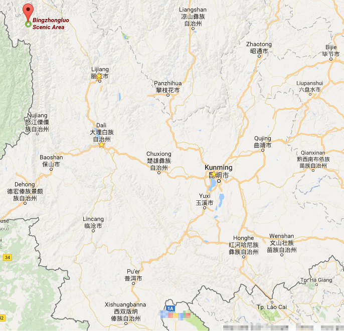
Location Map of Bingzhongluo in Nujiang
Geographical Location of Bingzhongluo
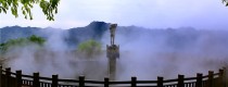
Bingzhongluo (丙中洛) is located in the northern part of Gongshan Derung and Nu Autonomous County in Nujiang Lisu Autonomous Prefecture, Yunnan Province, China. It is a town with a unique geographical setting, surrounded by natural beauty and close to the borders of Tibet and Myanmar.
Surrounding Areas and Neighboring Regions:
- North: Borders Chawalong Township in Chayu County, Tibet.
- South: Adjacent to Pengdang Township.
- East: Connects with Yanmen Township in Deqin County.
- West: Neighbors Dulongjiang Township.
Bingzhongluo is a key location on the border between China and Myanmar, as well as the junction between Yunnan Province and Tibet, making it an important point for both geopolitical and ecological significance.
Geographic Features and Landscape
Bingzhongluo lies in a valley at the northern end of the Nujiang River, with the river flowing southward through the region. The Nujiang River cuts through the area, forming a natural divide between the two mountain ranges:
- Biluoxue Mountain (碧罗雪山) to the east
- Gaoligong Mountain (高黎贡山) to the west
This creates a typical gorge landscape with steep cliffs, valleys, and diverse ecosystems. The area’s altitude varies, but it is generally higher in the north and lower to the south, providing breathtaking views of the surrounding mountains and river.
Coordinates:
- Latitude: 26.946° N
- Longitude: 98.245° E
The region is rich in both biodiversity and ethnic culture, making it a popular destination for travelers, trekkers, and birdwatching enthusiasts.


