


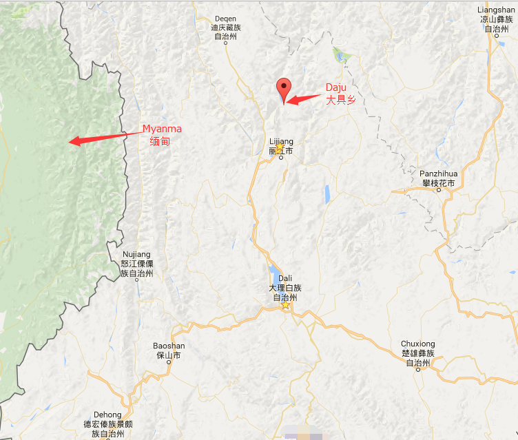
Location Map of Daju Town in Lijiang
Geographic Coordinates
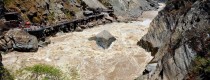
Daju Town (大具乡) is located in the northern part of Yulong Naxi Autonomous County, Lijiang City, Yunnan Province. The town is nestled at the northern foot of Yulong Snow Mountain (玉龙雪山), along the Jinsha River (金沙江).
- Latitude: 27°10′ N to 27°26′ N
- Longitude: 100°08′ E to 100°22′ E
Surrounding Areas
Daju Town shares borders with several key locations:
- East: Adjacent to Mingyin Town (鸣音镇).
- Southeast: Borders Dadong Township (大东乡) in Lijiang Old Town (丽江市古城区).
- South: Neighbors Baisha Town (白沙镇).
- Southwest: Bordered by Longpan Township (龙蟠乡).
- West: Separated from Xianggelila City (香格里拉市) in Diqing Tibetan Autonomous Prefecture by the Jinsha River.
- North: Adjoins Baoshan Township (宝山乡).
Geographical Features
Daju Town is characterized by diverse geography, with several key features:
- The area includes a mix of dry, hot river valleys, plains, semi-mountainous, and mountainous regions.
- The town’s highest elevation reaches 5,596 meters (Yulong Snow Mountain), while the lowest elevation is 1,650 meters.
- The region experiences a diverse climate, with an average annual temperature of 17°C. Summer temperatures can reach up to 33.7°C, while winter temperatures can dip to 0°C.
- The annual rainfall ranges between 600-900 mm, and there are approximately 30 frost days per year. The accumulated temperature is 5,640 kcal annually, giving the region a distinct vertical climate.

Click to rate this post!
[Total: 0 Average: 0]


