7 Days GolfingTour
 8 Days Group Tour
 8 Days Yunnan Tour
 7 Days Shangri La Hiking
 11 Days Yunnan Tour
 6 Days Yuanyang Terraces
 11 Days Yunnan Tour
 8 Days South Yunnan
 7 Days Tea Tour
 8 Days Muslim Tour
 12 Days Self-Driving
 4 Days Haba Climbing
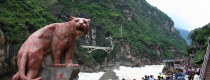
 Tiger Leaping Gorge
 Stone Forest
 Yunnan-Tibet
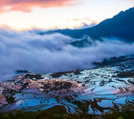
 Hani Rice Terraces
 Kunming
 Lijiang
 Shangri-la
 Dali
Dali
 XishuangBanna
 Honghe
 Kunming
 Lijiang
 Shangri-la
 Yuanyang Rice Terraces
 Nujiang
 XishuangBanna
 Spring City Golf
 Snow Mountain Golf
 Stone Mountain Golf
Shanggaoqiao Hui, Yi and Miao Ethnic Town in Daguan County, Zhaotong
Shanggaoqiao Hui, Yi, and Miao Ethnic Town (上高桥回族彝族苗族乡) is located in the southwest of Daguan County (大关县), Zhaotong City (昭通市), Yunnan Province (云南省). To the east, it borders Cuihua Town (翠华镇) and Yuwan Town (玉碗镇); to the south, it connects with Jing’an Township (靖安乡) in Zhaoyang District (昭阳区); to the west, it faces Maolin Town (茂林镇) in Yongshan County (永善县) across the river; and to the north, it is adjacent to Yuele Town (悦乐镇). The town covers an area of 103.35 square kilometers, and as of the end of 2019, its registered population was 22,391 people.
In the early years of the Republic of China, it was known as Tule Township (图乐乡). In August 1961, it was merged into Cuihua District (翠华区). In July 1962, it was separated to form Dazhai District (大寨区). In 1970, it was renamed as a commune, and in 1982, it became the Shanggaoqiao Commune (上高桥公社). In January 1984, it returned to the name of a district, and in January 1988, it became Shanggaoqiao Hui, Yi, and Miao Ethnic Town. As of June 2020, Shanggaoqiao Hui, Yi, and Miao Ethnic Town consists of 6 administrative villages.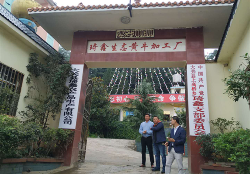
In 2019, there were 3 industrial enterprises in Shanggaoqiao Hui, Yi, and Miao Ethnic Town, as well as 17 commercial stores or supermarkets with an area larger than 50 square meters.
Administrative Information
Location: Southwest of Daguan County (大关县), Zhaotong City (昭通市), Yunnan Province (云南省)
Area: 103.35 km²
Population: 22,391 people (2019)
Subdivisions: 6 administrative villages
Government seat: Shanggaoqiao Street (上高桥街)
Postal code: 657402
Telephone area code: 0870
License plate code: 云C
History
Early Republic Period: Known as Tule Township (图乐乡)
1941: Under the jurisdiction of Yuwan (玉碗) and Tuohe (妥河) townships
1950: Merged with Cuihua Town (翠华镇), Qinglong Township (青龙乡), and Yuwan Town (玉碗镇) to form District 1
1958: Became Dazhai Commune (大寨公社)
1961: Integrated into Cuihua District (翠华区)
1962: Separated as Dazhai District (大寨区)
1970: Renamed as a commune
1982: Renamed Shanggaoqiao Commune (上高桥公社)
1984: Became a district again
1988: Renamed Shanggaoqiao Hui, Yi, and Miao Ethnic Town
Administrative Divisions
As of late 2011, Shanggaoqiao Hui, Yi, and Miao Ethnic Town governs six villages:
Tuanjie Village (团结村)
Dazhai Village (大寨村)
Hongqi Village (红旗村)
Xinmin Village (新民村)
Dabao Village (打堡村)
Longbao Village (龙堡村)
Geography
Shanggaoqiao Hui, Yi, and Miao Ethnic Town is located in the southwest of Daguan County (大关县). It shares borders with Cuihua Town (翠华镇) and Yuwan Town (玉碗镇) to the east, Jing’an Township (靖安乡) to the south, Yongshan County (永善县) to the west, and Yuele Town (悦乐镇) to the north. The town covers an area of 103.35 square kilometers.
Topography: The town is mountainous, with the highest point at Niujiaowan (牛角湾子) in Dazhai Village (大寨村), at an elevation of 2648 meters, and the lowest point at Dashi Ban (大石板) in Longbao Village (龙堡村), at an elevation of 1221 meters. The average elevation is 2121.9 meters.
Climate: The average annual temperature is 2°C, with an average annual rainfall of 1200 mm. Snow accumulates for about 3 months per year, with precipitation mainly occurring between June and August, and snow falling from December to February.
Hydrology: The rivers in Shanggaoqiao Hui, Yi, and Miao Ethnic Town belong to the Jinsha River (金沙江) basin. The main rivers include:
A third-level river (三级河), 20 km in length
A fourth-level river (四级河), more than 10 km long
The largest river is the Sanyu River (洒渔河), which flows northward through the villages of Tuanjie (团结), Dabao (打堡), and Longbao (龙堡), spanning 20 km.
Natural Disasters: The area is prone to natural disasters such as frost, cold floods, hail, and insect infestations, with occurrences typically alternating from December to September.
Natural Resources: The town has deposits of limestone, coal, lead, zinc, and pyrite, though the exact reserves are unclear. Small-scale coal mining has already been initiated.