 7 Days GolfingTour
 8 Days Group Tour
 8 Days Yunnan Tour
 7 Days Shangri La Hiking
 11 Days Yunnan Tour
 6 Days Yuanyang Terraces
 11 Days Yunnan Tour
 8 Days South Yunnan
 7 Days Tea Tour
 8 Days Muslim Tour
 12 Days Self-Driving
 4 Days Haba Climbing
 Tiger Leaping Gorge
 Stone Forest
 Yunnan-Tibet
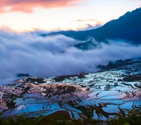
 Hani Rice Terraces
 Kunming
 Lijiang
 Shangri-la
 Dali
Dali
 XishuangBanna
 Honghe
 Kunming
 Lijiang
 Shangri-la
 Yuanyang Rice Terraces
 Nujiang
 XishuangBanna
 Spring City Golf
 Snow Mountain Golf
 Stone Mountain Golf
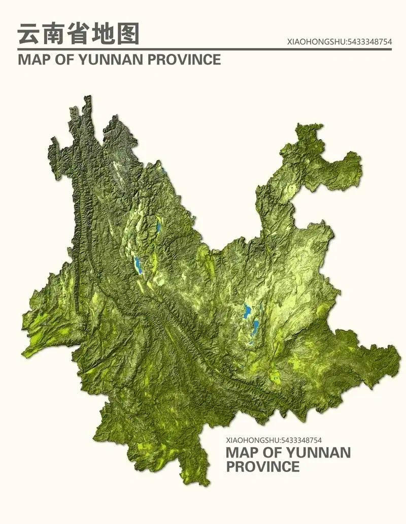


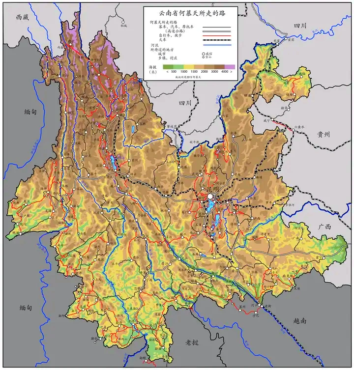
Yunnan Topography Map
Here are some resources where you can find topographic maps of Yunnan Province:
- Google Maps: You can use Google Maps to explore the terrain and topography of Yunnan Province. It offers satellite imagery and terrain views that can give you a good sense of the landscape.
- Yunnan Geographic Information Network: The Yunnan Geographic Information Network (YNGIN) provides various maps, including topographic maps. You can access these maps through their official website or local geographic information service providers.
- China National Geomatics Center: This center provides topographic maps of various scales for different regions of China, including Yunnan Province. These maps are detailed and suitable for various uses, including geographical studies and planning.

- OpenStreetMap: OpenStreetMap (OSM) is another platform where you can find community-contributed topographic data. It may not be as detailed as official sources but can still provide useful insights into the terrain of Yunnan.
- Local Tourist Information Centers: When in Yunnan, local tourist information centers often have detailed maps, including topographic ones, that you can obtain for hiking, exploring rural areas, or understanding the terrain better.
These resources should help you access topographic maps and explore the diverse terrain of Yunnan Province.


