Liming Lisu Ethnic Town in Yulong County, Lijiang

Li Ming Lisu Township(丽江纳西族自治县黎明傈僳族乡) is located in the northwest part of Yulong Naxi Autonomous County, Lijiang City, Yunnan Province. It borders Jinjiang Town, Xianggelila County, Diqing Tibetan Autonomous Prefecture across the Jinsha River to the east, and is adjacent to Judian Town and Shitou Bai Township of the same county to the south. It also connects with Ludian Township of Nujiang Lisu Autonomous Prefecture and Tongdian Town of Lanping Bai Pumi Autonomous County to the west, and borders Judian Town to the north. The township covers a total area of 706.2 square kilometers. As of the end of 2019, the registered population of Shitou Bai Township was 15,821 people.
Administrative History

  • Yuan and Ming Dynasties: Part of Lijiang Military and Civilian Administration Jurisdiction.
  • Qing Dynasty: Divided into Shigu Qiaotou Yue and Ludian Tuoding Yue of Lijiang Prefecture.
  • Republic of China: Belonged to Luqiao Township of Lijiang County.
  • July 1949: Under the Lijiang Political Affairs Committee Jinjiang Branch.
  • October 1958: Under Lijiang County Zhongxing Commune.
  • April 1961: Under Lijiang Naxi Autonomous County.
  • First half of 1984: Under Jinzhuang District, Lijiang Naxi Autonomous County.
  • First half of 1988: District abolished, Jinzhuang Township and Li Ming Lisu Township established.
  • December 2005: Jinzhuang Township merged into Li Ming Lisu Township.

Administrative Divisions

  • End of 2011: Li Ming Lisu Township administered 7 village committees: Li Ming, Li Guang, Meile, Duimei, Jinzhuang, Zhongxing, and Cike, with 118 village groups.
  • June 2020: Administers 7 administrative villages, with the township government located at Zhongxing Village Qiaotou Group.

Geographic Environment

Location and Area

Situated in the northwest part of Yulong Bai Pumi Autonomous Prefecture, Yunnan Province, Li Ming Lisu Township spans 706.2 square kilometers. It borders Jinjiang Town, Xianggelila County, Diqing Tibetan Autonomous Prefecture across the Jinsha River to the east, and connects with Ludian Township of Nujiang Lisu Autonomous Prefecture and Tongdian Town of Lanping Bai Pumi Autonomous County to the west. It also borders Judian Town to the north.

Terrain and Landforms

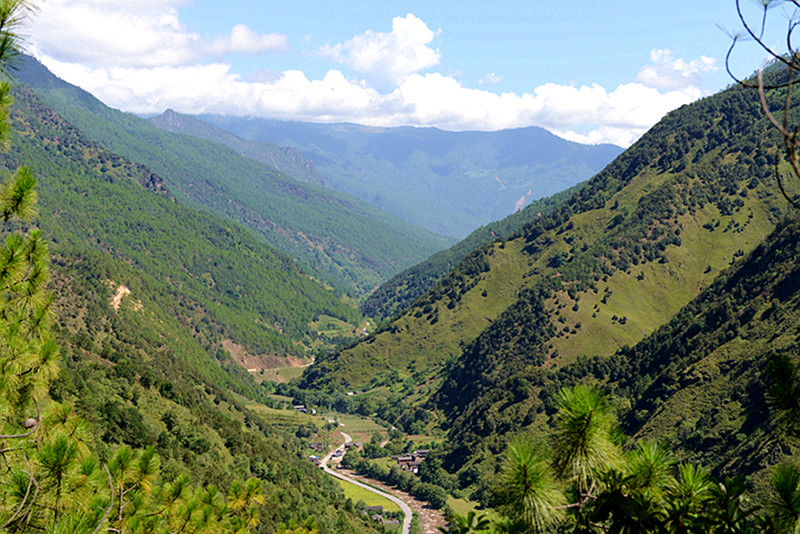
The township slopes from southwest to northeast. The terrain is divided into mountainous areas, semi-mountainous areas, and river valleys. The highest peak is Jinsiyu Peak of Laojun Mountain, with an altitude of 4402 meters; the lowest point is Zhongxing Village, at 1800 meters above sea level.

Climate

Li Ming Lisu Township experiences a subtropical plateau river valley climate. It is characterized by large altitude differences, distinct vertical climate zones, low rainfall in spring, high rainfall in summer, dry autumn, and cold winter. The average annual temperature is 14.9°C. The average temperature in January is 7.1°C, with extremes recorded at -4.6°C (January 23, 2010); the average temperature in July is 21.2°C, with extremes recorded at 37.8°C (May 25, 2011). The average annual precipitation is 564.3 millimeters.

Hydrology

The Jinsha River passes through the northeast side of the township, spanning 18 kilometers. The largest river within the township is Jinzhuang River, flowing through Li Ming, Jinzhuang, and Zhongxing, with a length of 51 kilometers and a basin area of 933 square kilometers. The annual runoff volume is 458 million cubic meters.

Natural Disasters

Main natural disasters include floods, hailstorms, and landslides. The most severe flood occurred in late August 2005.

Natural Resources

Li Ming Lisu Township boasts 31,755 hectares of forests, with a forest coverage rate of 62.6%. Efforts in afforestation include 261.9 hectares of forest closure annually and planting 8,850 scattered trees. The township also reclaims 90 hectares of farmland for forestry and 100 hectares for grassland, planting 91,009 trees and investing 30,9910 yuan in labor.

Scenic Spots

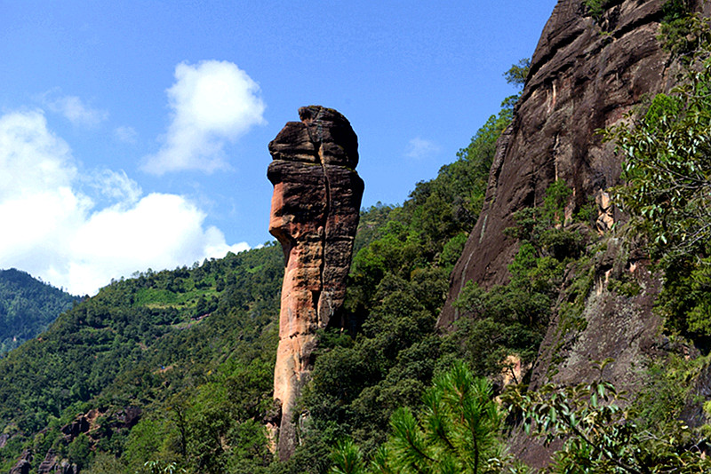
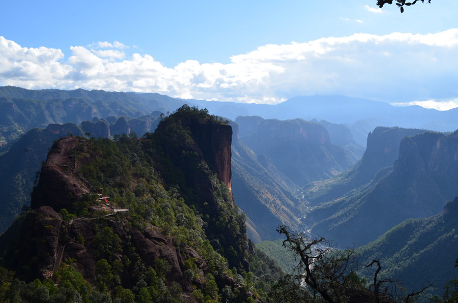
Tourist attractions include Wanzhang Hongyan and Red Army Long March Crossing Memorial Stone in Li Ming Lisu Township. The township is home to a 248-square-kilometer Danxia landform, ranking top in China for its relative and absolute heights, as well as spectacular and colorful scenery. In July 2003, the “Three Rivers Confluence” successfully applied for World Natural Heritage status, describing Li Ming as “China’s first-class, world-class”. On January 19, 2004, the Ministry of Land and Resources of China approved the “Li Ming – Laojun Mountain National Geopark”. The weathering and erosion of Li Ming Danxia formed various landscapes such as peaks, cliffs, and caves. Representative landscapes include Qiangui Mountain, Wanguicheng, Danxia Red Cliff, Nantianmen, Taiyin Mountain, Taiyin Valley, Laojun Alchemy Furnace, Tongxin Column, Shen Niao Caiping, Yixiantian, and more. Among them, Qiangui Mountain and Wanguicheng are representative for their scale and landscape quality in China.